The Route
The classic route covers about 620 km with around 5200 meters of elevation. For those who really love climbing mountains, there's the extended version with about 690 km and an extra challenge of around 1000 meters of elevation. If there are any issues on the long route, you can always switch to the classic route.
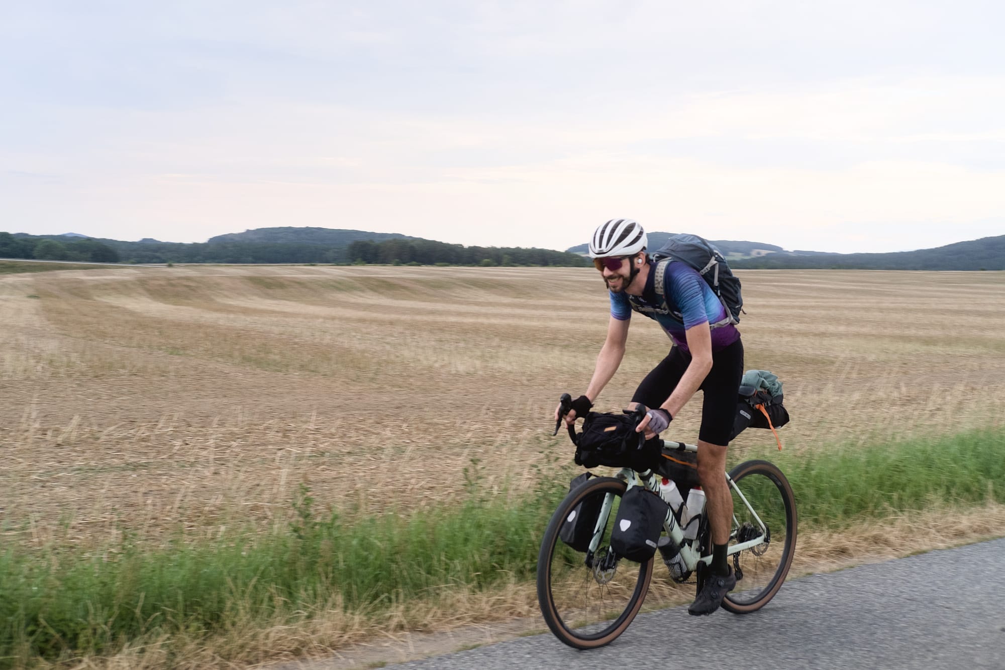
The route is mostly on asphalt and gravel roads. On the classic route, we aim for a good balance – roughly 50:50 – so you can make good progress but still have enough time to take breaks. There are also some sections with cobblestones, roots, and sand to mix things up a bit.
Starting on the outskirts of Berlin, the route takes you into the Spreewald and through the Lusatian Heath and Lakeland. You'll then leave Germany via the Neisse River and head towards the Jizera Mountains. Soon you will reach the first foothills of the Giant Mountains, where the first steep climbs and winding roads will take you higher and higher.
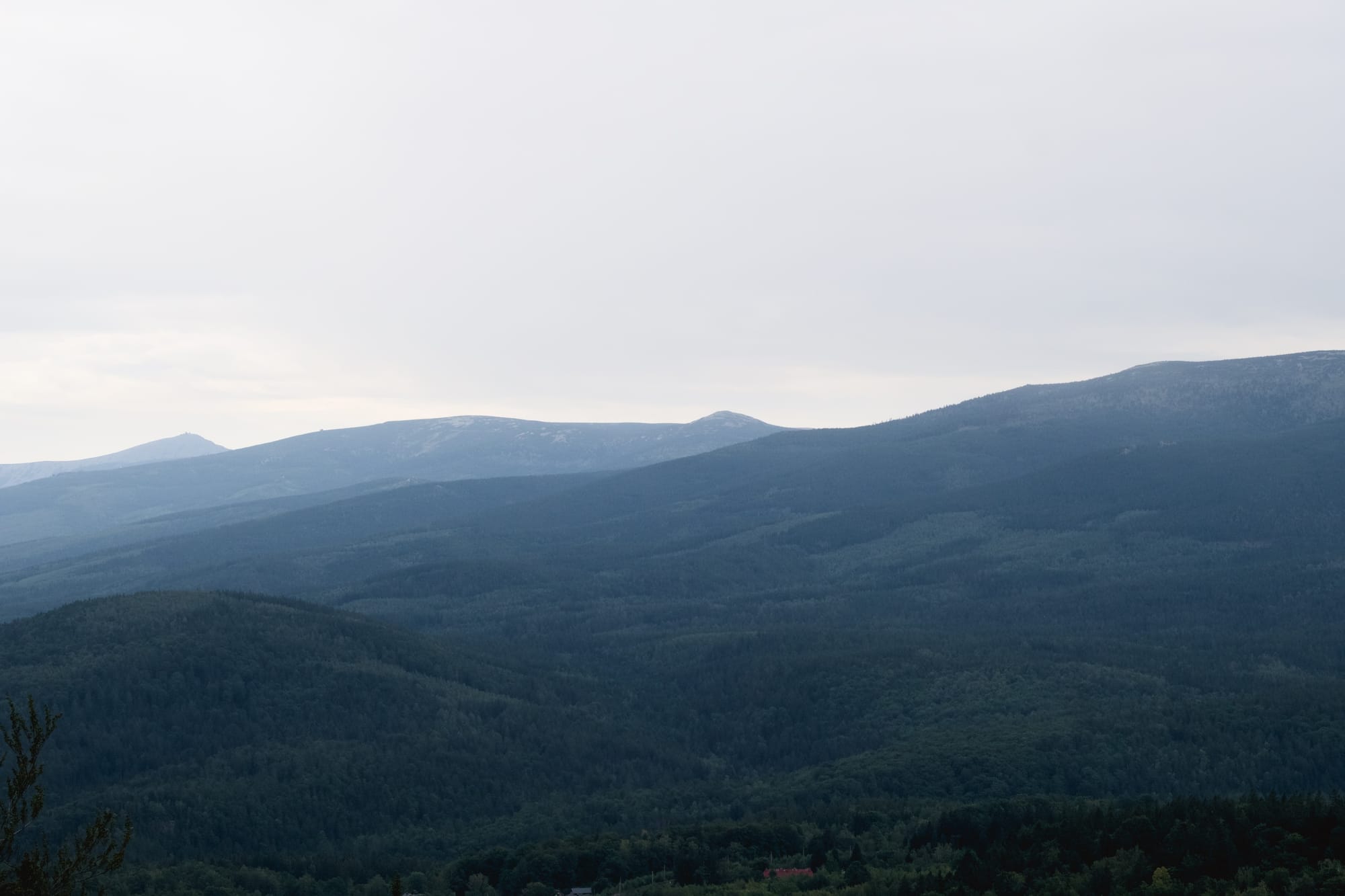
After about 300 kilometres and a good deal of climbing, the ridge of the Giant Mountains offers an impressive view. You are now over 1000 metres above sea level and in the middle of the national park, which is known for its wild rock formations and high moors. Unfortunately, it is not possible to reach the top of Schneekoppe by bike.
From the ridge of the Giant Mountains, which form the border between Poland and the Czech Republic, you’ll continue through the Jizera Mountains towards Upper Lusatia. The Jizera Mountains are known for their untouched forests and striking granite rocks. After crossing this impressive mountain range, you’ll reach the German border.
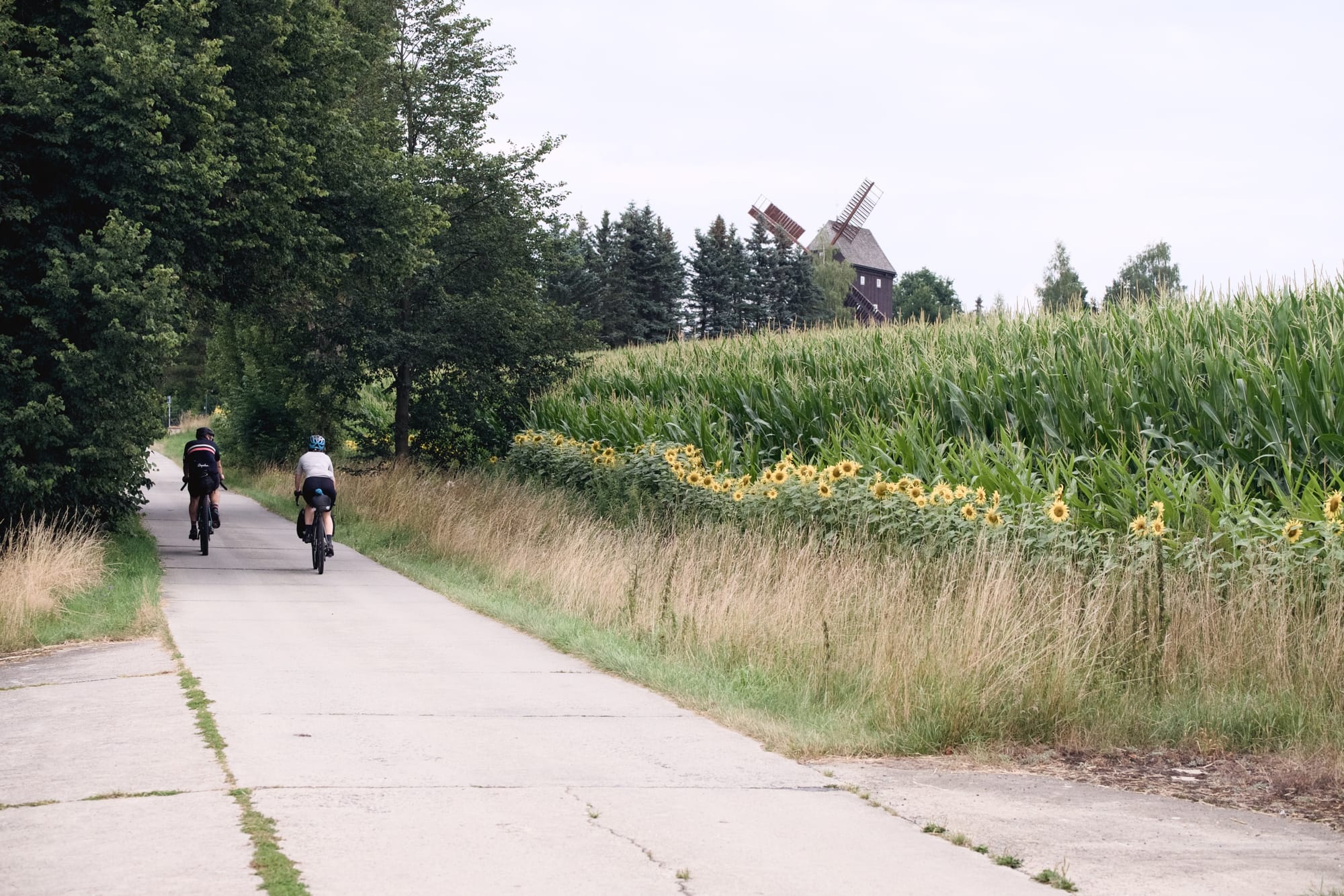
After about 420 km, just past Görlitz, the route flattens out. The many lakes in the Oberlausitzer Seenland and Spreewald biosphere reserves are perfect for a quick refreshing break - if your schedule allows!
We've just started scouting the route and will be making a couple of adjustments before August.